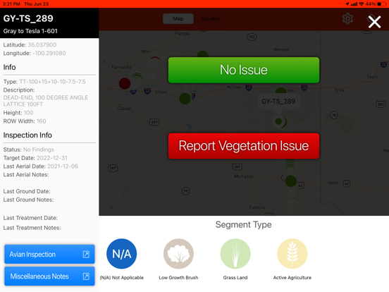
Aerial Vegetation Manager is a part of Think Powers toolset for vegetation management and allows users to inspect for vegetation encroaching electric transmission lines aboard a helicopter. The app is intended to work completely offline aboard the helicopter after the initial sync of data and webmap tiles and then upload data back in the office after finishing the helicopter assessment.The data uploaded by this app is then used in other web and mobile tools to make work plans, setup ground inspections, document work performed and audits of completed work.
The app uses Location Services in the background to provide accurate GPS data for field data logging.
Disclaimer: Continued use of GPS running in the background can dramatically decrease battery life.


